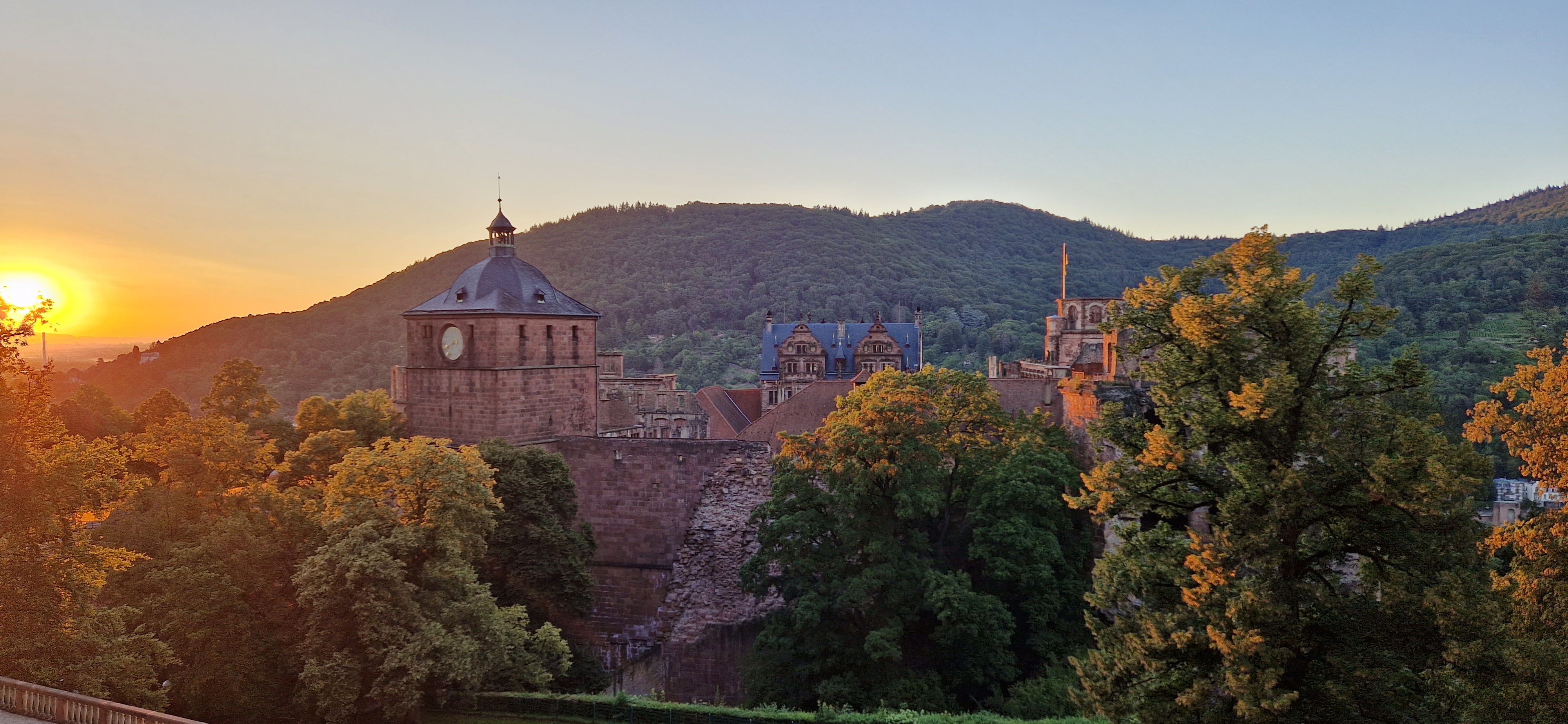
GPS tracks for cycling around EMBL
One of the things to know about EMBL Heidelberg is the commute to it by bike on pleasant routes through the forest, and pretty decent mountain-biking on the hills around it.
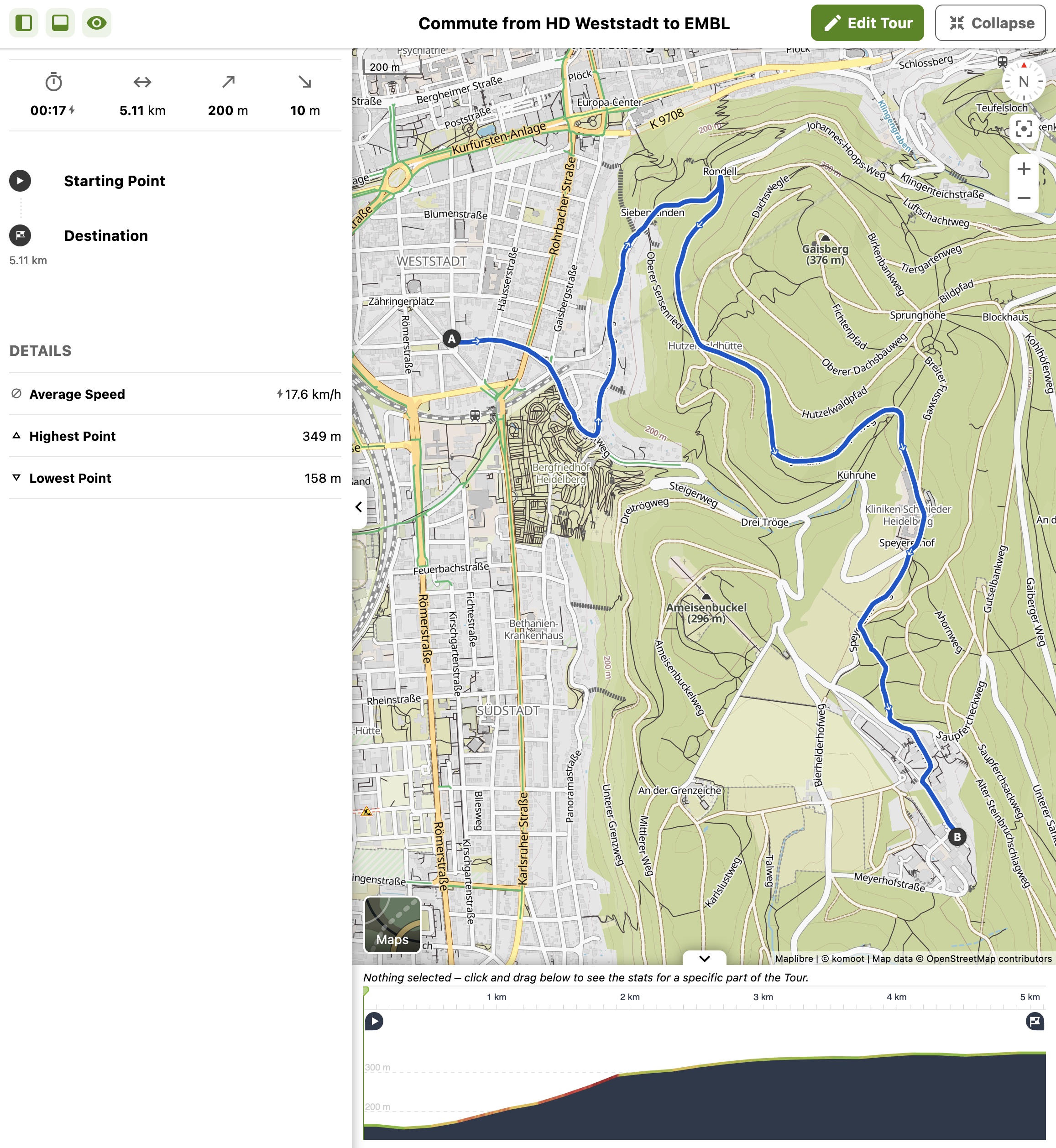
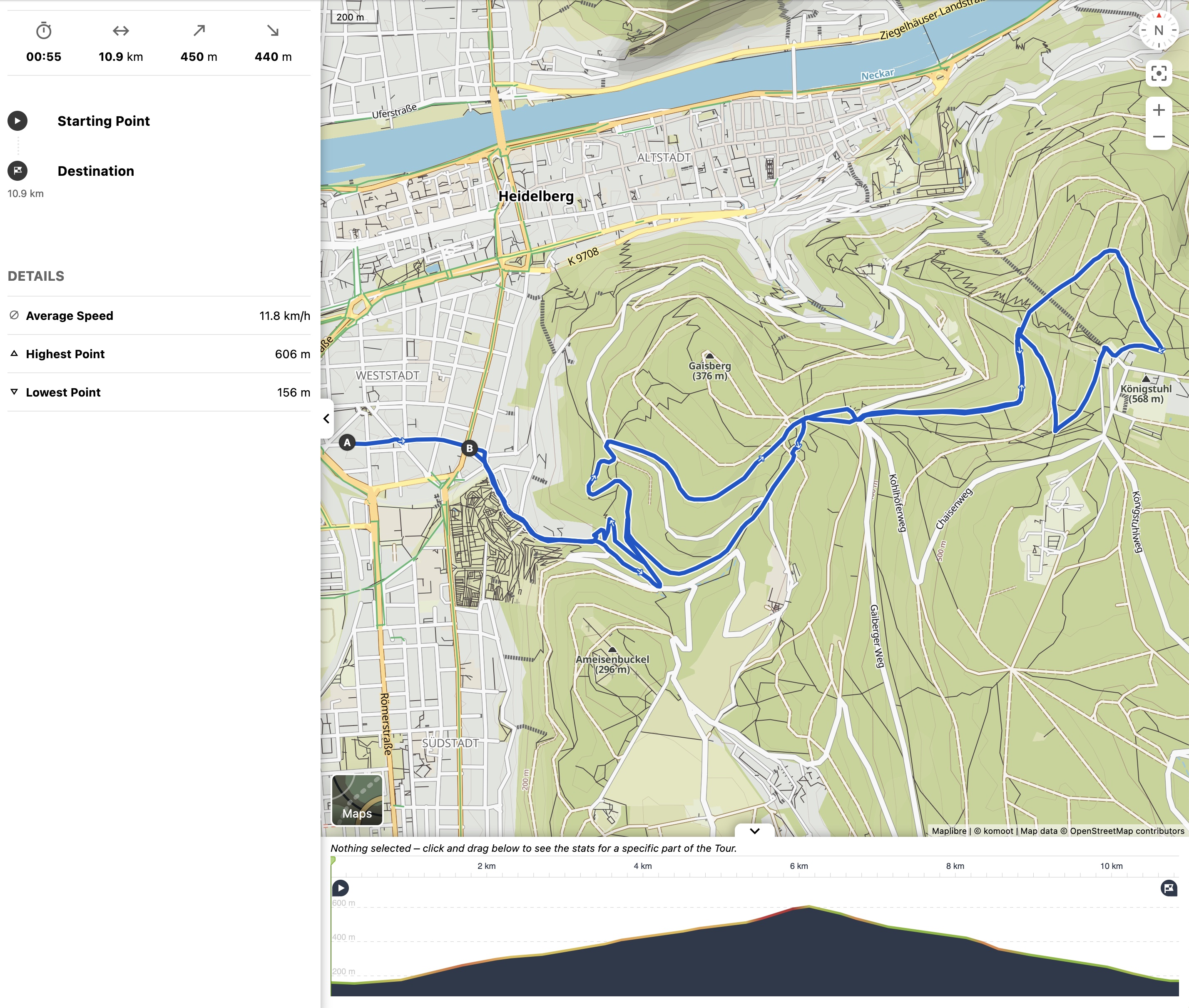
Bike commute from Heidelberg Weststadt to EMBL
The most obvious route is for cyclists to follow the road that the cars and busses take, up Steigerweg. But in the uphill direction, this can be nasty and unsafe, as the road is narrow and steep, and traffic can be intense. There are better alternatives. Here is one.
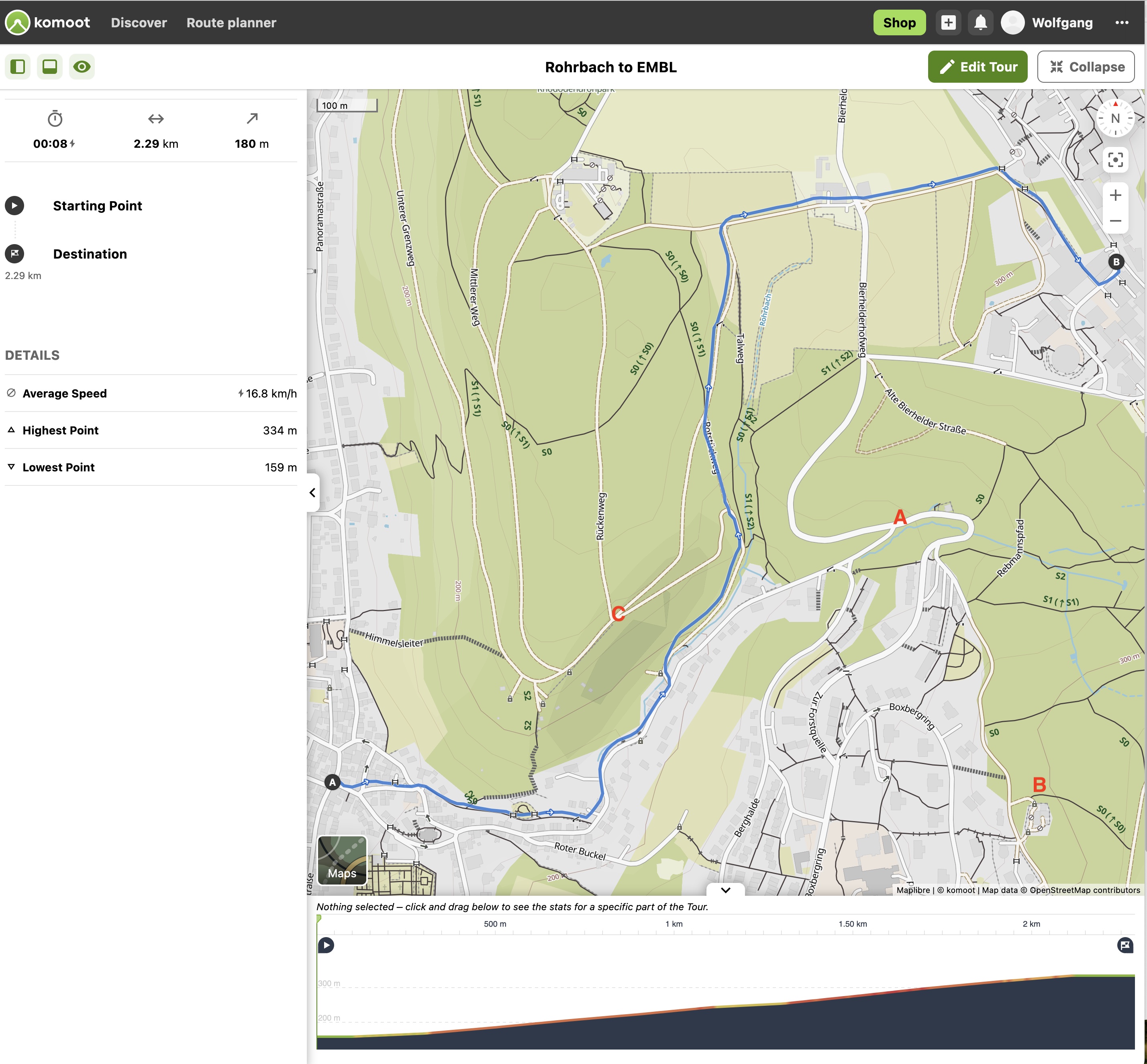
Bike commute from Heidelberg Rohrbach to EMBL via Bierhelder Hof
Here, an obvious choice of route would be to go up Kühler Grund all the way to Forstquelle (the red A on the map) and then continue left on Bierhelderhofweg. But the latter is part is not good: narrow, steep, obstructed view, fast moving cars. Alternatively, one can turn right at Forstquelle and go past the Heating Station (the red B on the map) through the forest; but it’s a bit of a detour.
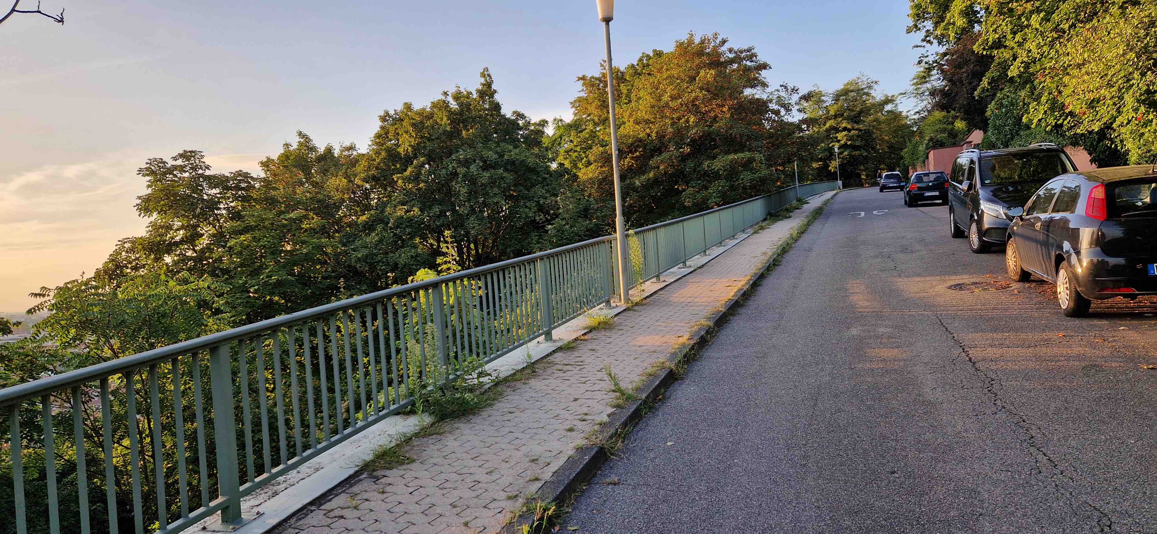
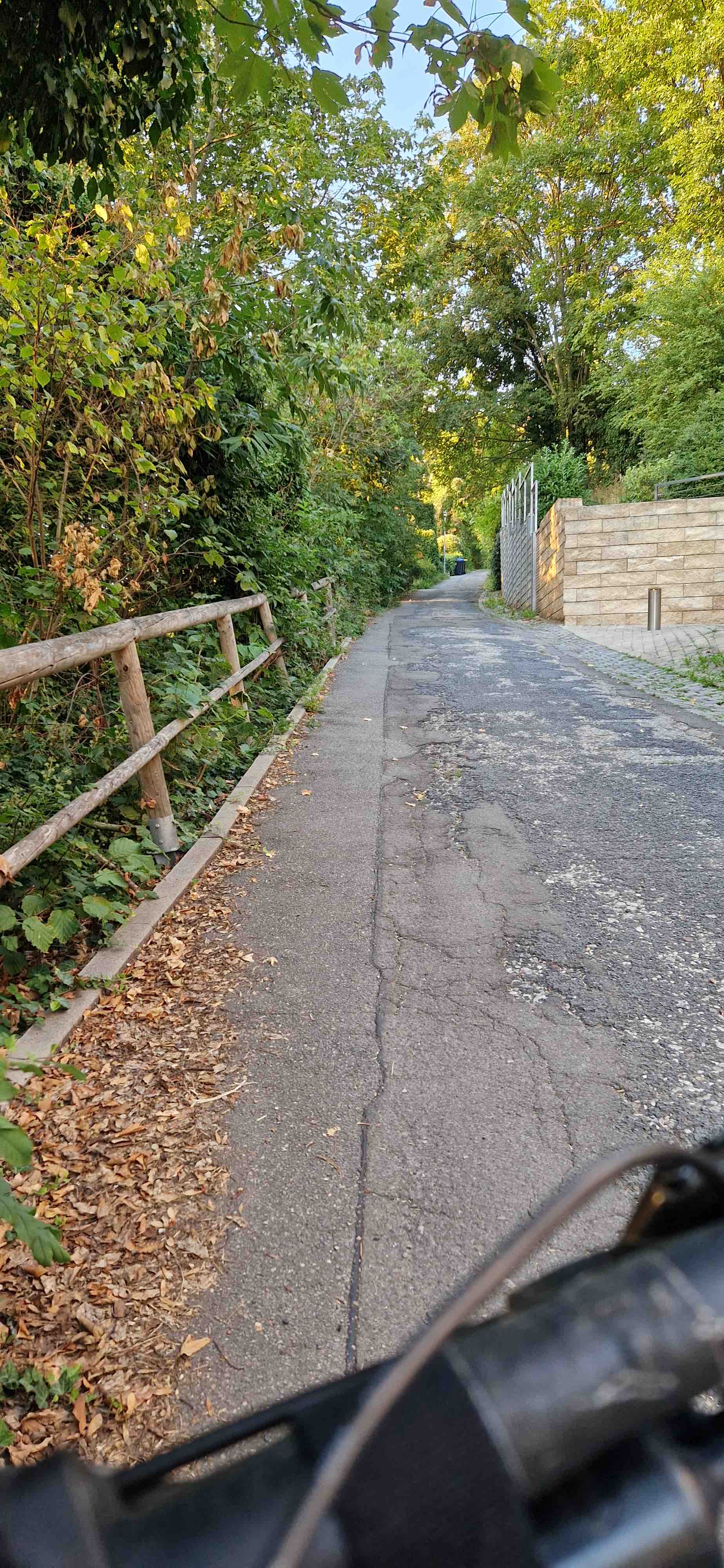
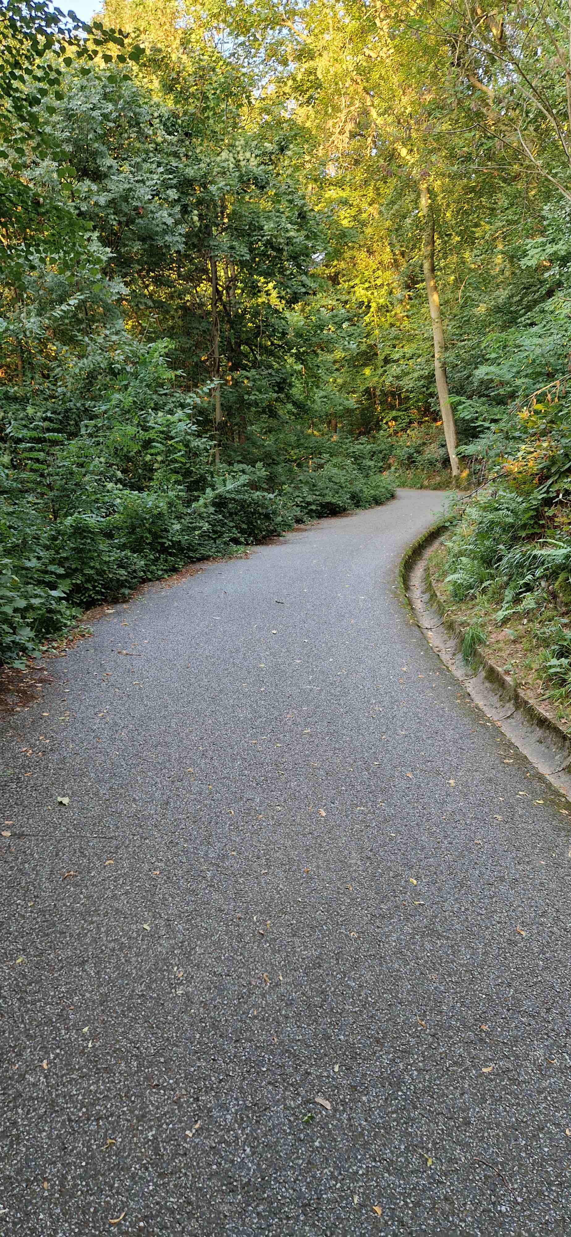
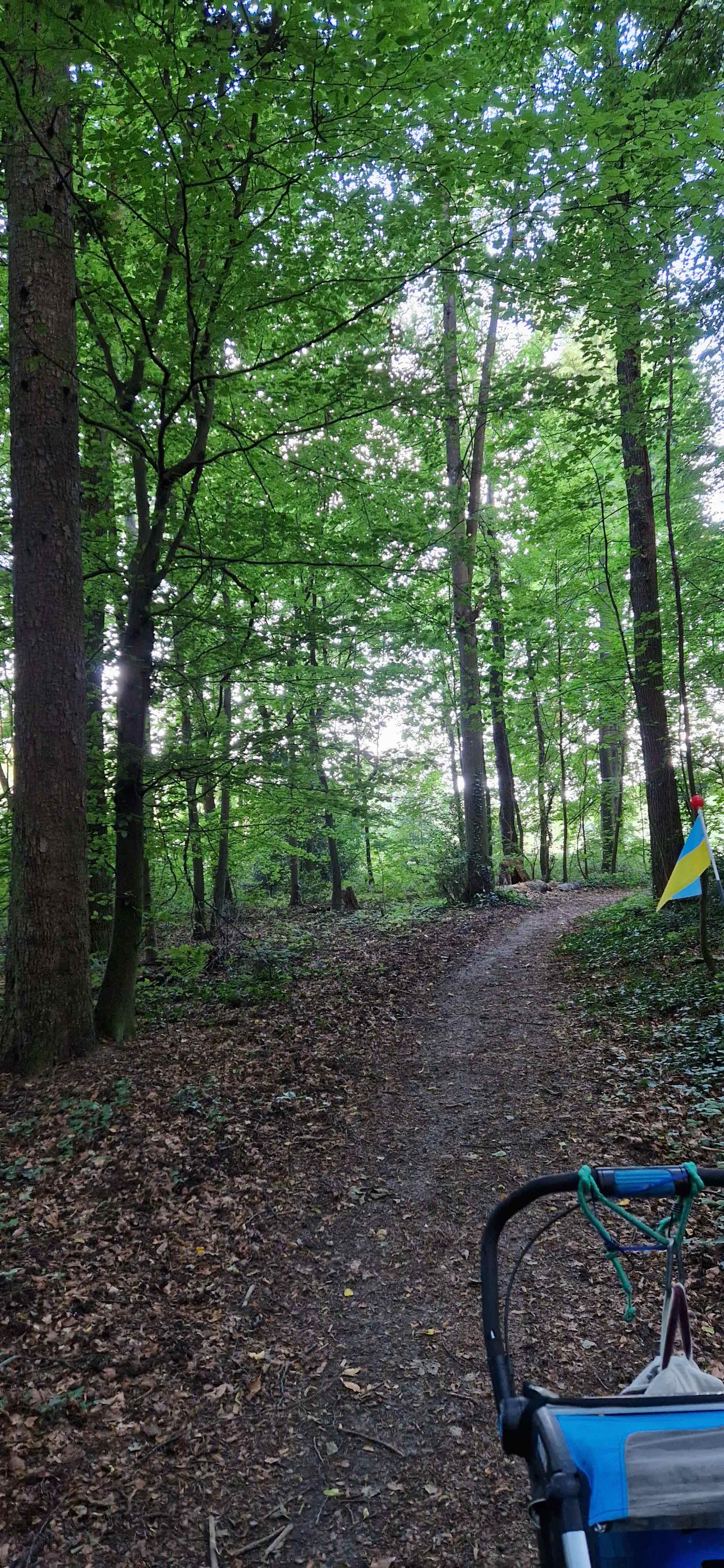
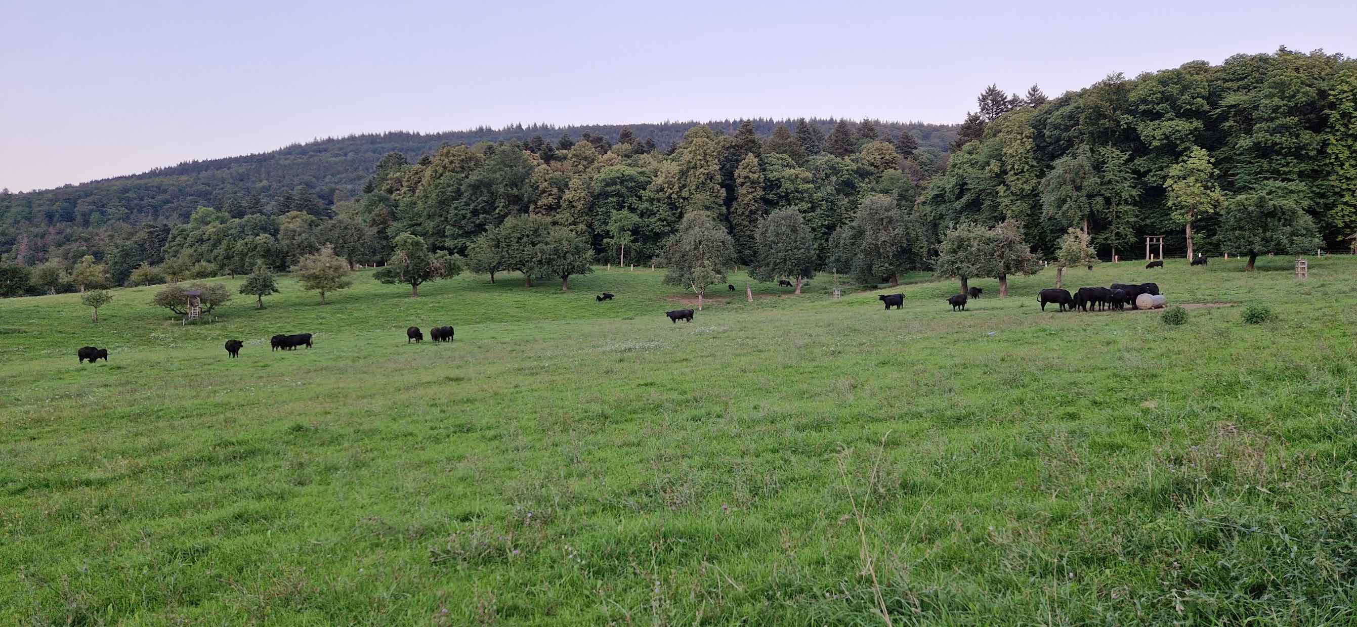
Instead, we go up slightly left of Kühler Grund and pass Bierhelder Hof on a paved road that crosses a pleasant meadow with cows. The section on Rotstückweg is a bit steep and unpaved. A more relaxed option is to go via the red C on the map.
README
The company MOVELO offers an e-bike rental service on campus Intranet link.
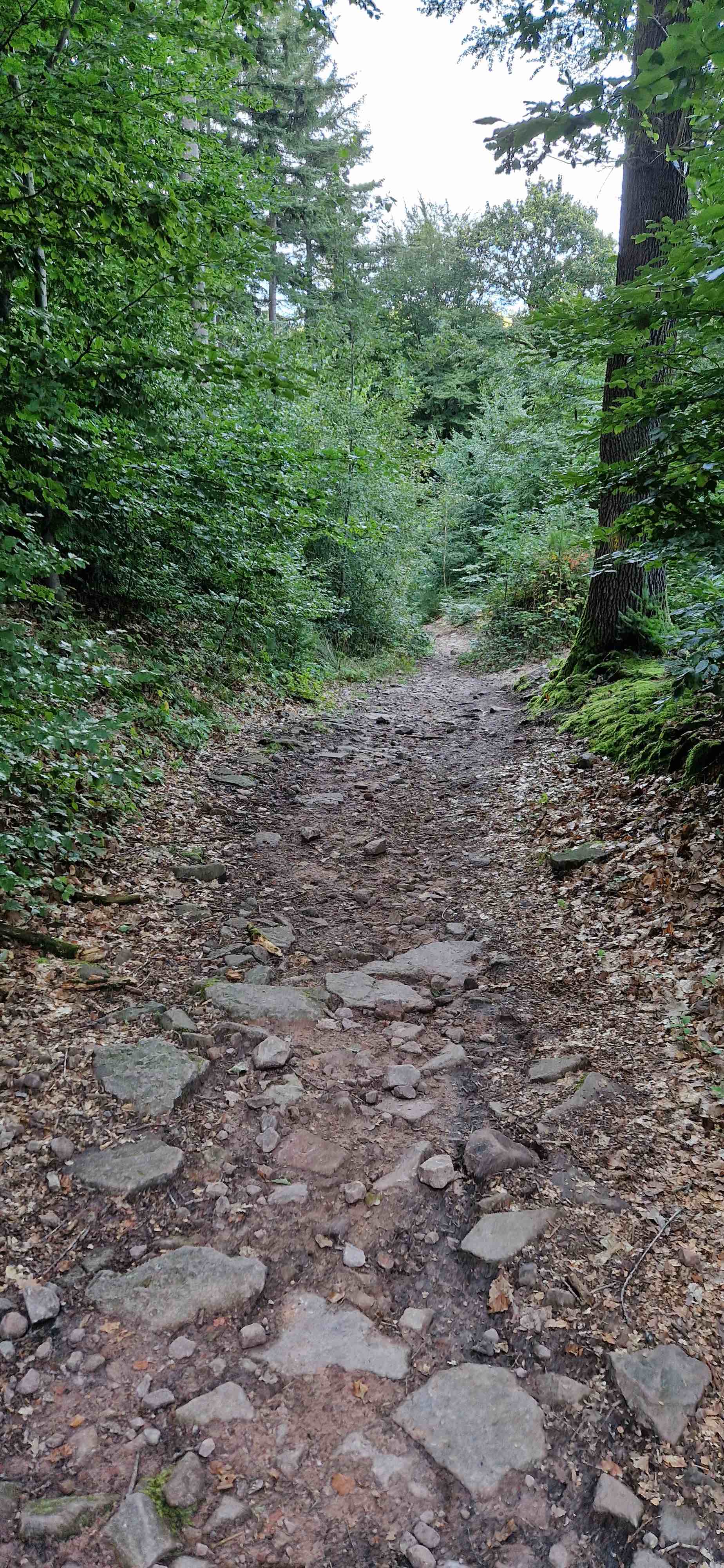
The tours below involve parts that are off-road, washed-out single trails, steep descents. Please use with caution. Even though the routes were fine for biking when I recorded them, changes are always possible, e.g., due to forest works, falling trees, erosion, etc. A full suspension mountain bike is recommended. The altitude measurements in the GPX files seem to be some 60m too high, possibly an artefact of my phone.
After work tour to Königstuhl, route 1 (<1h)
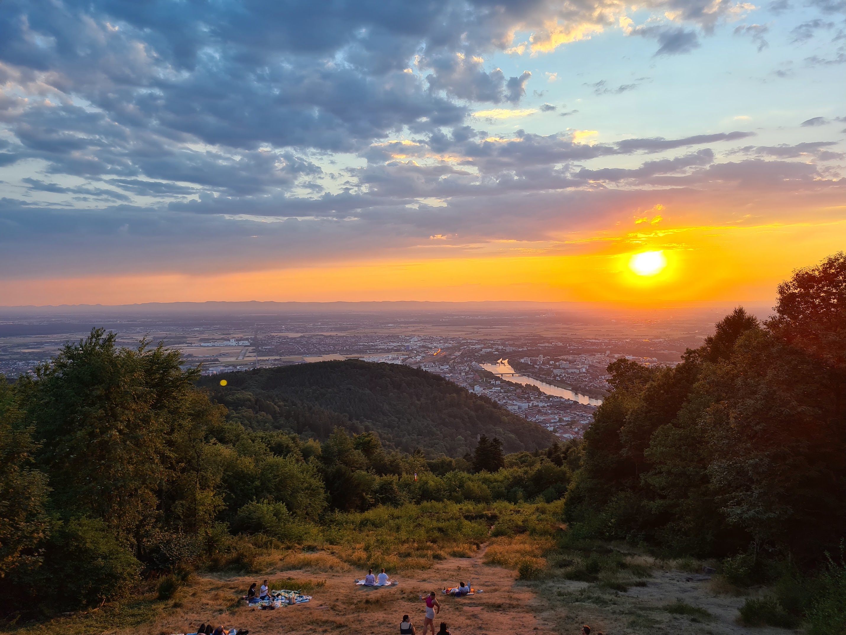
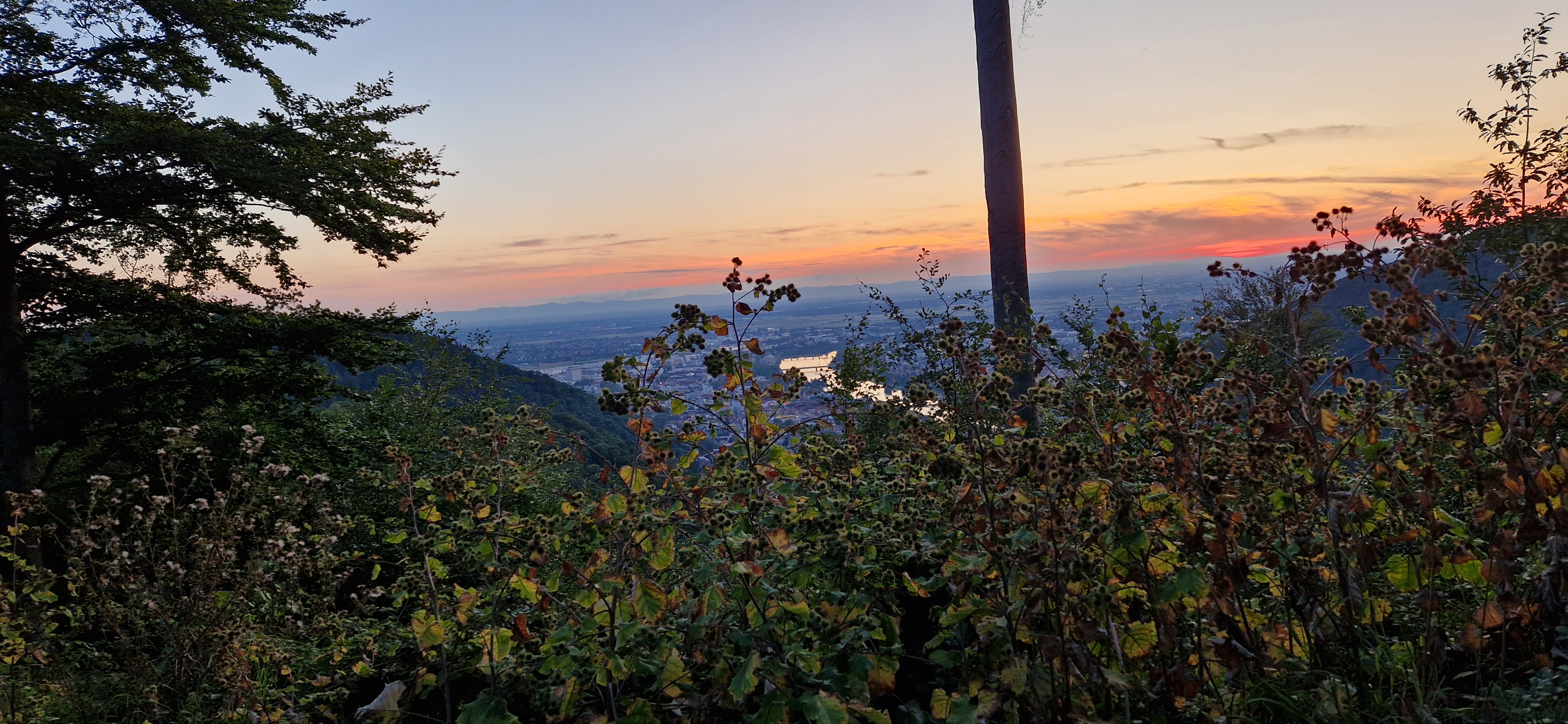
The highest point of the tour is a vista point with a popular picnic spot, a restaurant with an outdoors terrace and a beergarden-kiosk with a terrace.
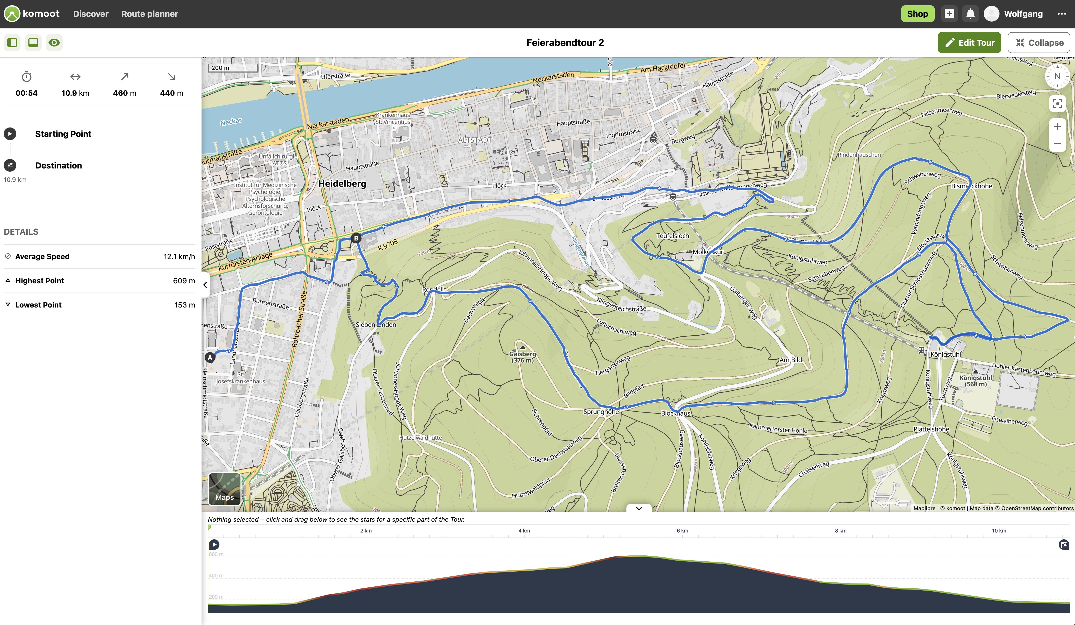
After work tour to Königstuhl, route 2 (<1h)
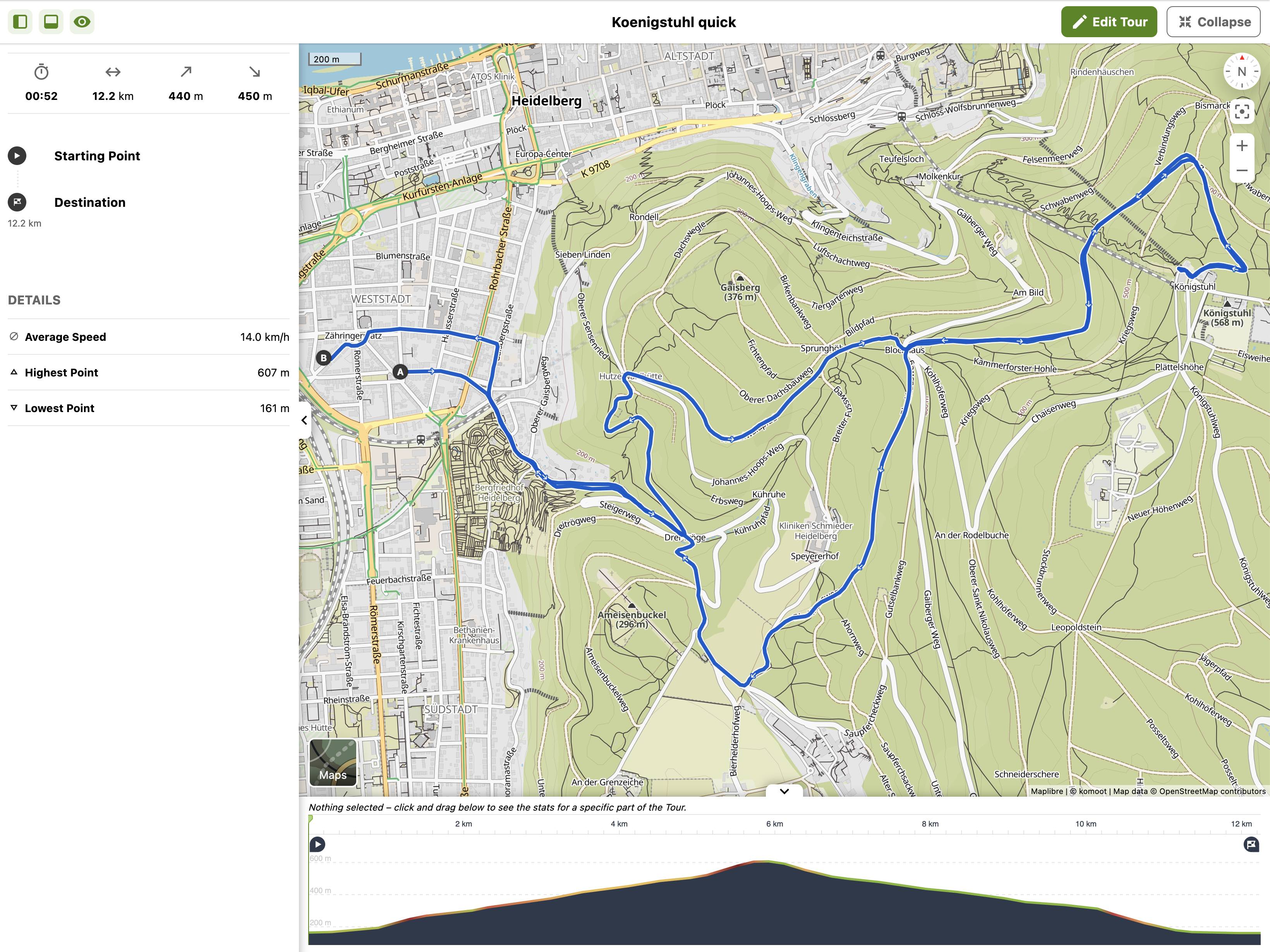
Königstuhl quick
Downhill from Königstuhl with lots of flow trail
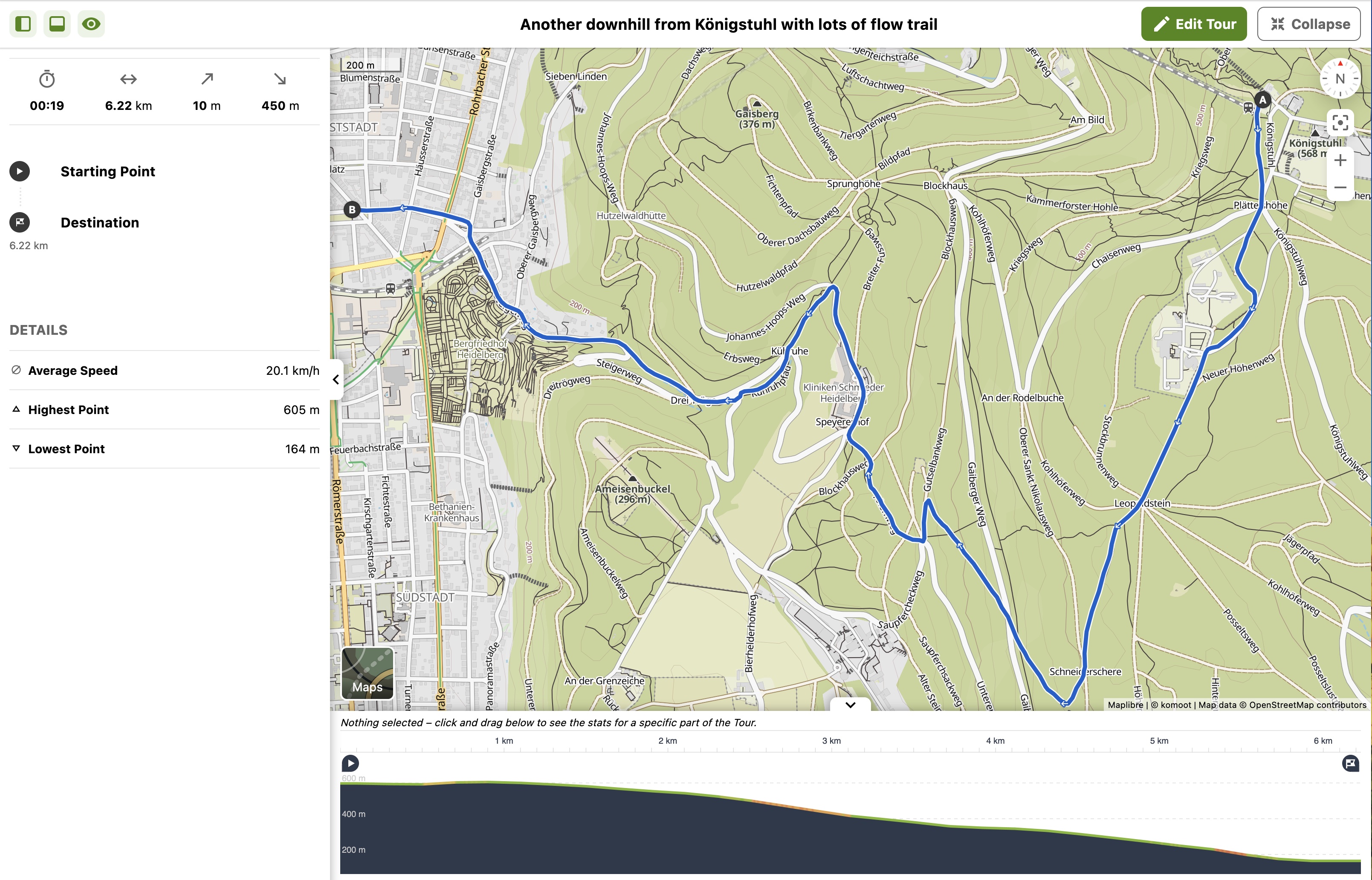
The route tries to optimize the amount of flowtrail, and passes the two Max-Planck-Institutes
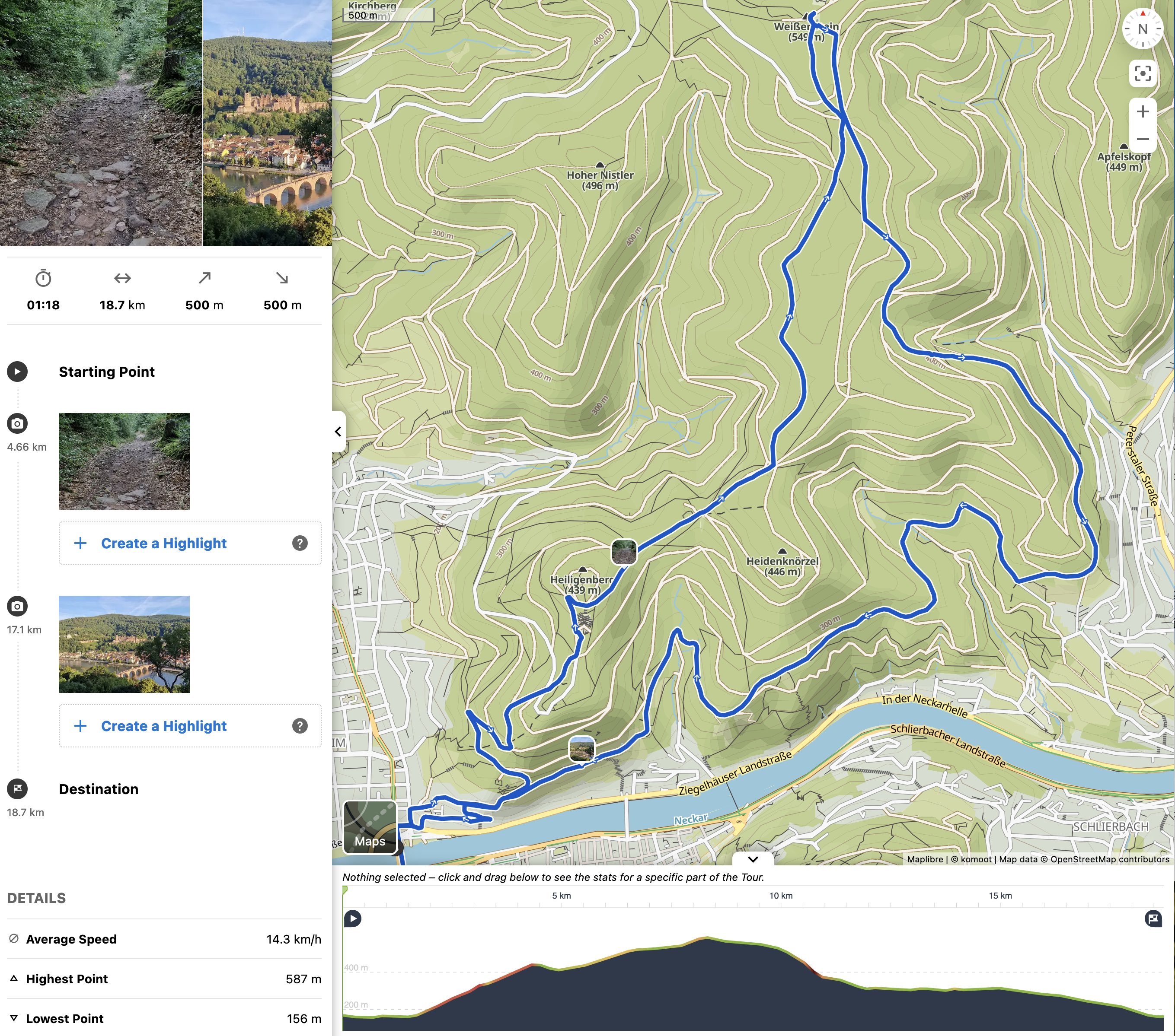
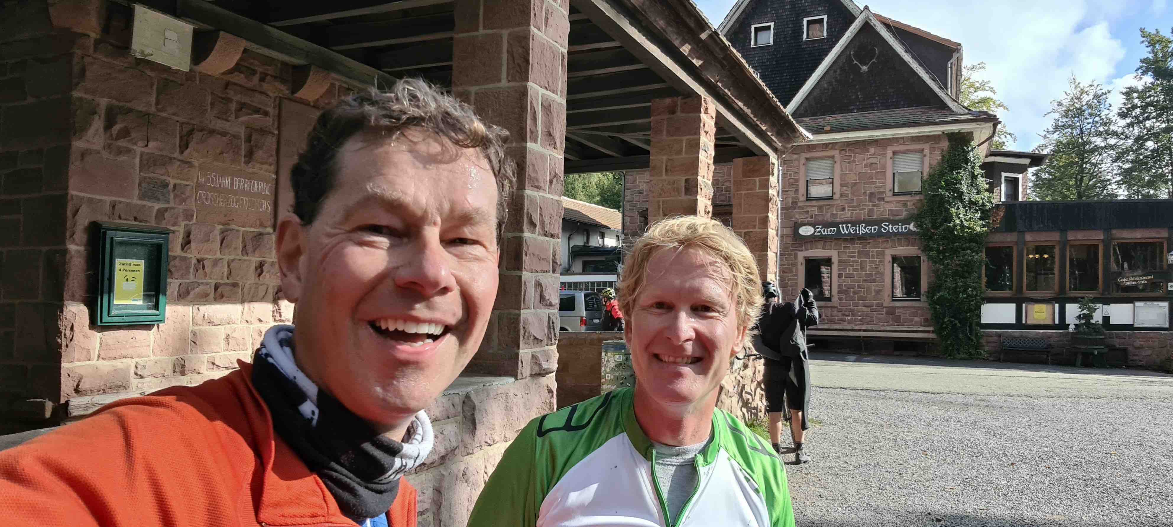
Weisser Stein, route 1 (1.15h)
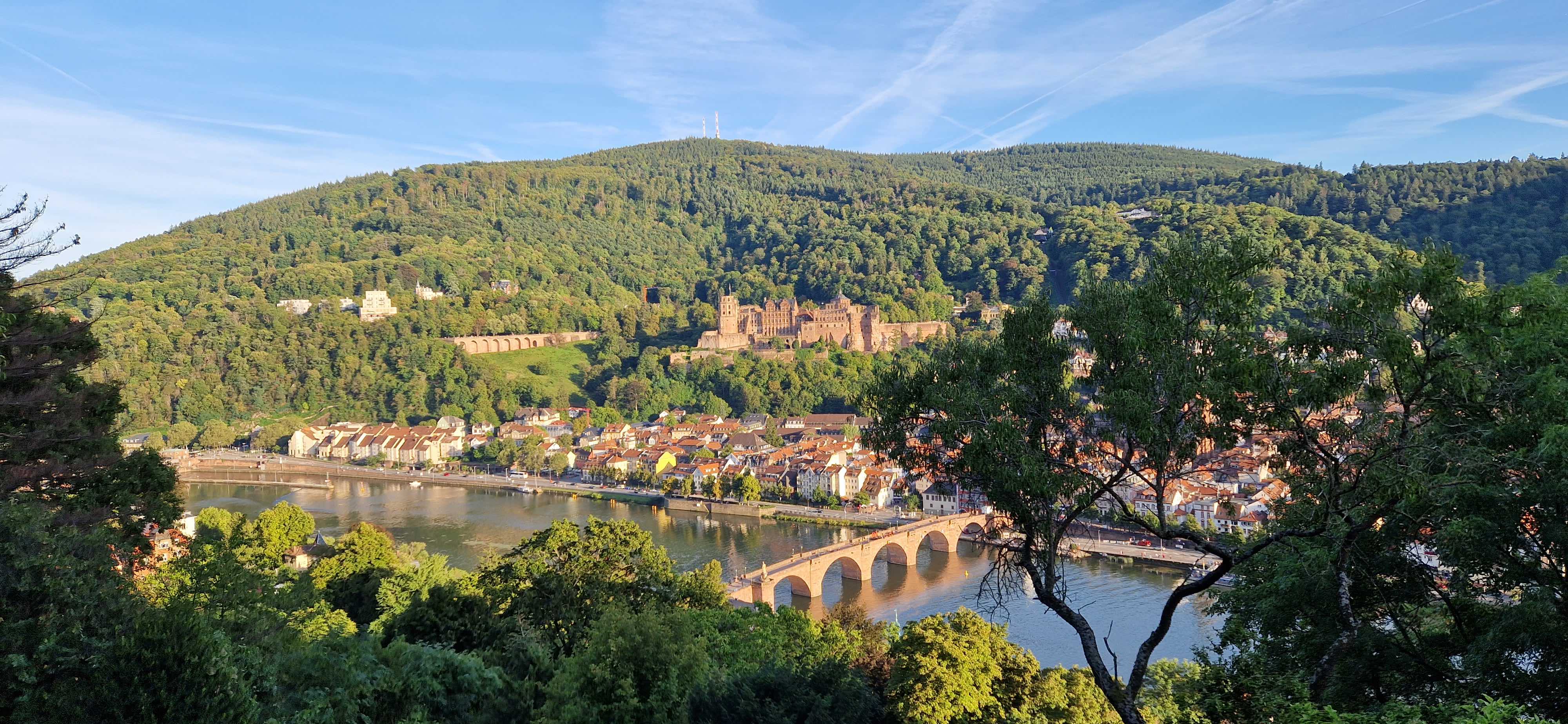
This trail involves several touristic highlights, including remnants from a prehistoric Celtic settlement with a deep hole in the ground, ruins from a medieval monastery, a strange Nazi-era amphitheatre, three inns in the forest (Waldschenke, Weisser Stein, Kloster Neuburg), and the Philosophenweg.
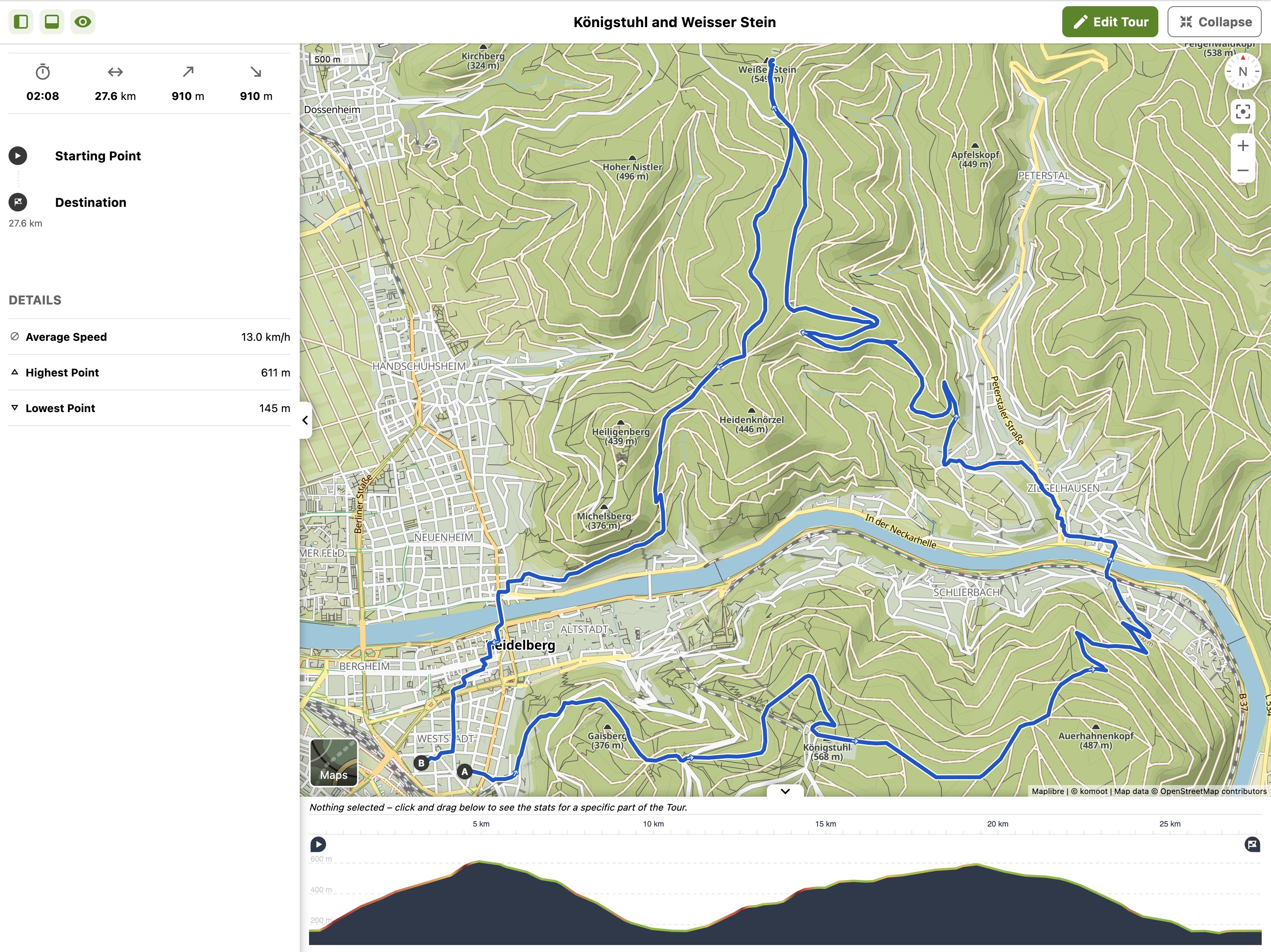
Königstuhl and Weisser Stein combined, via Ziegelhausen
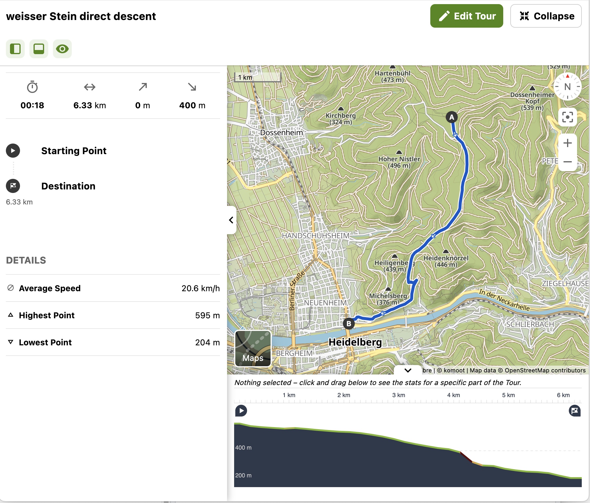
Weisser Stein direct descent